Case Study - Analyze Natural Catastrophes with AI
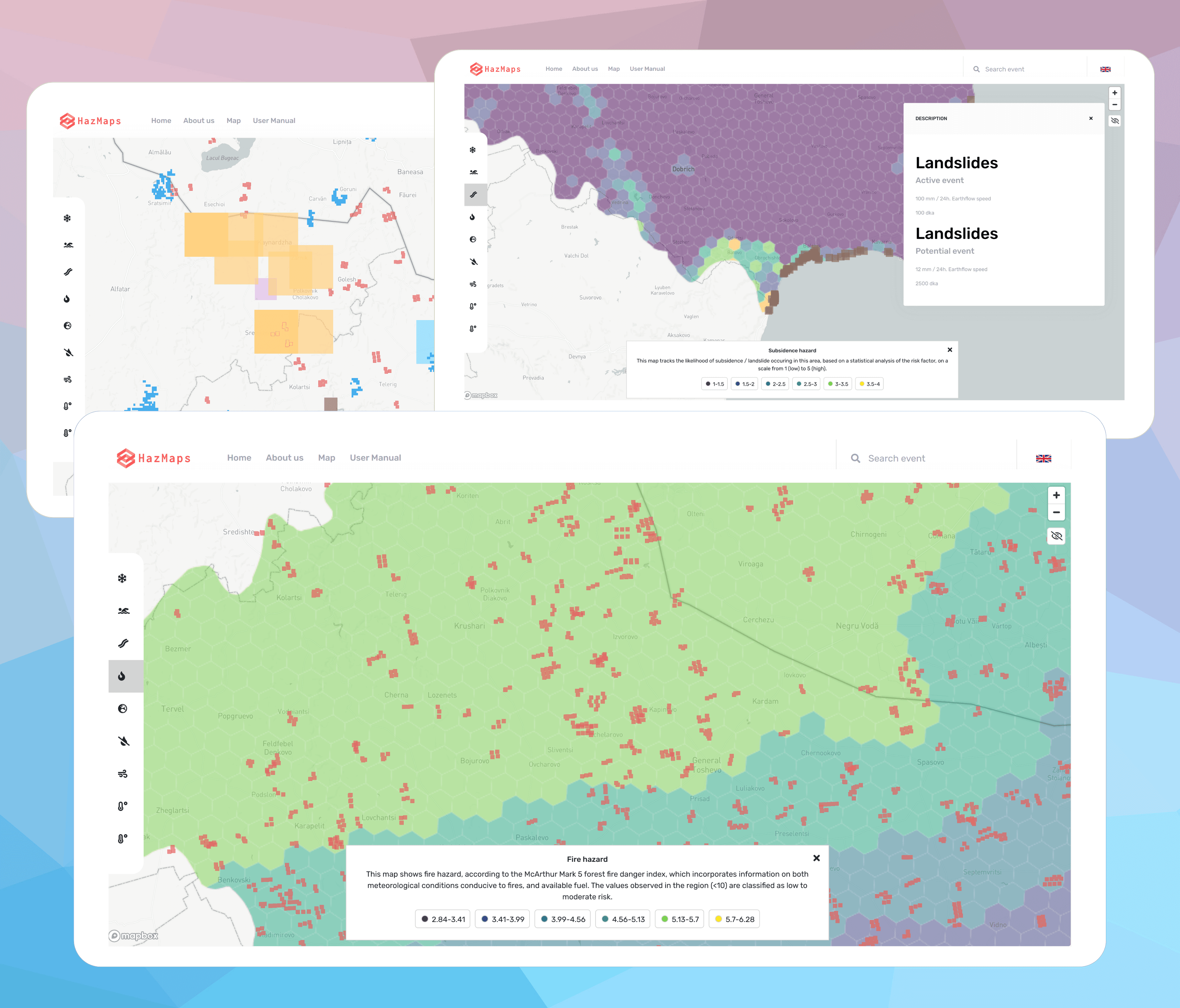
We developed a system that detects natural catastrophes and calculated hazard models for two regions in Europe to aid public planning.
- Client
- Gov Bulgaria & Gov Romania
- Year
- Service
- Web Development, Data Engineering, Artificial Intelligence

Overview
Natural hazards are a major and evolving topic in the context of the climate emergency. All European regions need to have a clear understanding of the risks they face and how to mitigate them and plan around them, in terms of both public and private infrastructure. Unfortunately, the data needed to support this analysis is still lacking - registries on natural catastrophes, if they exist, are incomplete, out of date, and difficult to access.
We developed a system that extracts natural catastrophes from historic remote sensing data using machine learning / AI. We pulled data from 3 different satellite constellations for fires and floods, used sensor data for earthquakes, SAR for landslides, and pulled climate data from the European Space Agency’s Climate Change Initiative for climate hazards. We used machine learning to identify events and cluster them into single incidents.
We merged this with available registry data into a unified database. We then used our data and AI to calculate and interpolate hazard models for two regions in Europe to aid public planning.
Finally, we developed a thoughtful, user-friendly, highly performant web interface (also packaged on Android) that allows the public to view the data in a variety of formats and an admin panel that lets administrators manually add, edit and annotate new georeferenced events.
What we did
- Frontend
- Android
- Remote Sensing
- Geospatial
- Maching Learning / AI
- Data Engineering
- Risk models developed
- 9
- Hazards identified
- 2k
- Different satellite sensors used
- 3